Nearby attractions with tours
There are no tours listed for Buraco do Possidônio yet. These attractions in the Chapada Diamantina area have local guides on Vivai.
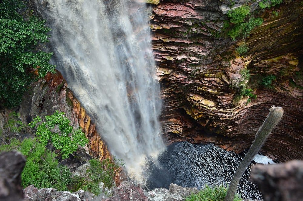
A collapse sinkhole 120 m across and 30 m deep in Morro do Chapéu, Bahia, listed by the Brazilian Geological Survey as a geosite of national relevance.
Buraco do Possidônio is a collapse sinkhole in Morro do Chapéu, Bahia, about 17 kilometres southwest of the town. It is roughly 120 metres across, 30 metres deep, and sits at 980 metres above sea level.
The Brazilian Geological Survey lists it as a geosite of national relevance, rating its scientific and educational value at that same level.
The crater did not open all at once. Below it, water slowly dissolved a carbonate layer more than 50 metres thick, the Jacuipe Flints, which lies under the siltstones of the Caboclo Formation, from the Mesoproterozoic. When the roof of that cavity gave way, the ground fell in. Some accounts credit an ancient earth tremor for the collapse, but the void underneath was the work of water.
Anyone arriving hoping to walk into the cave will not get far. The pile of blocks and sediment left by the collapse blocked the way into the underground system, so the visit happens from the rim, looking in.
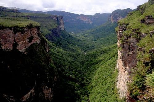
At the bottom grows a stand of tall trees, helped by the microclimate of the depression, in surroundings where cerrado and caatinga mix.
Access is by secondary road: about 16 kilometres from the Morro do Chapéu bypass, a left turn at a gate, and the last stretch on foot, an easy walk.
Morro do Chapéu holds other places of the same kind of landscape, such as the Ferro Doido waterfall, the Brejões cave and the village of Ventura.
There are no tours listed for Buraco do Possidônio yet. These attractions in the Chapada Diamantina area have local guides on Vivai.